
Step 1 | Lesson 1.9
Aviation weather and UAV procedures
Weather reporting and prediction along with defined and accurate procedures can greatly influence performance and safety. Combined and properly utilized, they will enhance the measure of your success.
In this lesson, you’ll learn how to apply the various sources of weather reports and forecasts along with proven industry procedures, including emergency, radio communications, and maintenance/preflight inspections to your drone operations.
Every Flight to the Future lesson has seven segments that take you through a Mind Expanding Journey.
– Introduction
– Presentation
– Concept
– In-depth
– Recap
– Required reading
– Assessment

1.9.1. Introduction
Reports and inspections
Weather reporting and prediction, along with defined and accurate procedures, can greatly influence performance and safety. Combined and properly utilized, they will enhance the measure of your success.
In this module, you’ll learn how to access aviation weather reports and forecasts, examine and interpret the data they provide, and apply the information to your flight planning and operations.
You’ll also explore proven industry procedures, from pre-flight inspections and maintenance, to in-flight emergencies and radio communications, which will help broaden your understanding of how your UAS operation fits into the overall aviation ecosystem.
All UAV operators are required to conduct routine pre-flight inspections to ascertain if the aircraft is in safe flying conditions. These detailed checks, combined with adequate maintenance efforts, are what assist in guaranteeing UAV deployment is always conducted with the minimal risk possible of critical equipment failures.
Each UAV owner must establish a reliable maintenance schedule and pre-flight checklist. Ideally these should be based upon provisions established within manufacturer guidelines, or, if official determinations are not available, put together by the UAV owner themselves.

1.9.2 Presentation
Understanding METARS and TAFS
Meteorological Aerodrome Reports — also known as METARs — are standardized, detailed reports that depict current weather conditions at a particular airport.
METARs build on a collection of continuous, up-to-date weather information called Surface Aviation Weather Observations.
Surface observations provide local weather conditions and other relevant information for a specific airport. This information can come from individual ground stations; from government or private weather facilities; from automated sources, such as Automated Weather Observing Systems or Automated Surface Observing Systems; and from individuals.
Watch the teaser


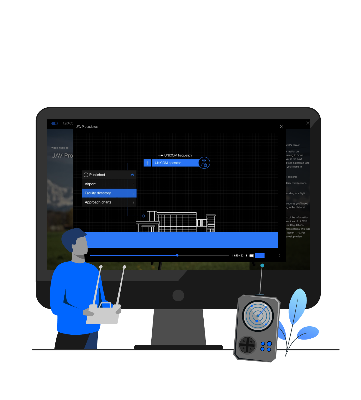
1.9.3 Concept
UAV Procedures
Despite a remote pilot’s best efforts to follow maintenance and inspection procedures, in-flight emergencies do sometimes occur.
An in-flight emergency is usually an unforeseen event that can have serious consequences for an unprepared remote pilot.
As a remote pilot, you’ll be responsible for the safe operation of your drone at all times. As discussed in the previous section, this includes ensuring that the aircraft is in a safe operating condition before flight. It also includes ensuring that your operation doesn’t pose any hazard to persons or property, and that all required crew members are properly briefed on the operation and emergency procedures.
Watch the teaser
1.9.4 In-depth
Integrating weather data leads to better operations
Key aviation report
A TAF is a report established for the five statute mile radius around an airport. TAF reports are usually given for larger airports. Each TAF is valid for a period of 24 or 30 hours and is updated four times a day at 0000Z, 0600Z, 1200Z, and 1800Z.
The TAF uses the same descriptors and abbreviations as used in the METAR report. These weather reports can be beneficial to the remote pilot for flight planning purposes.
Safety first
Safe and efficient operations depend on many factors. Along with an understanding of atmospheric conditions, weight and balance, and performance characteristics, a proper review of weather reports and forecasts is vital for you to know how your drone will perform under varying conditions.

1.9.5 Recap
Lesson summary
In aviation terms, “weather service” comes from a wide variety of sources.
The Weather Service represents a vast global network that includes the National Weather Service, Federal Aviation Administration, Department of Defense, various aviation groups, and foreign weather organizations.
Collective data from these sources provides a comprehensive view of existing and forecasted weather conditions that remote pilots can use when planning drone operations.
Recordkeeping is a critical part of your drone maintenance and inspection protocol.
Solid recordkeeping demonstrates that you’ve taken your owner/operator responsibility for airworthiness seriously. It provides you with retrievable empirical evidence of assessment data that defines the condition of safety-critical systems and components.
And it can be highly useful in supporting your decision to launch if that decision ever comes into question.


1.9.6 Required reading
Lesson library
Required
– Weather terminology
– Operating Procedures
– Preflight checklist
– Radio Communications Phraseology and Techniques
– Aviation Weather Advisory Circular AC 00-6B
– Maintenance and Preflight Inspections – Advisory Circular 107-2, Section 5.9
For advanced readers
– Aviation Weather – For Pilots and Flight Operations Personnel

1.9.7 Assessment
Lesson quiz
Regarding the center weight
– A less concentrated center of gravity will result in better performance.
– Placing the battery and camera on the bottom of the drone’s frame is the industry standard.
– Neither the battery nor the payload may be placed at the exact center of gravity.
– It is ideal to have the battery, camera and payload as close together as possible.
Ten multiple choice questions. An 80% score is needed to advance to the next lesson.