Drone business ideas and best practices

Drone pilot training was just the beginning. Explore the drone business ideas and best practices that will help you succeed.

What’s covered in Step 3

Market opportunities
The reasons to start a drone business are endless. Explore commercial drone business ideas, market sizes and variations across the country.
Advanced flight simulation
Test your skills! Part of your drone pilot training includes unlimited used of Aquiline Drones' realistic drone flight simulator, tailored for our line of connected drones.
Industry applications
Passive drone applications with a range of sensors have widespread use in industries. Understanding five key application areas and related use cases will prepare you to deliver high-quality drone services.
Operational best practices
Put your skills and knowledge to work by rehearsing real-world missions in simulations from start to finish. Assume both pilot and mission control roles to get a full perspective of cloud-connected operations.

Knowledge tree

The flight path to mastering specialized drone applications by industry and use case.

Lessons

Market demand for commercial UAV solutions

Welcome to step 3 in Flight to the Future. You are now ready to gain a higher level of expertise in commercial drone applications.

Understand the potential across applications and select an industry of your choice to begin your advanced training. Be prepared for extensive simulator training.

UAS 101

As a UAS provider, you need to put the conceptual and information-based knowledge you have gained towards real-world applications. The first step in this regard, is understand the industry landscape for UAV applications.

UAVs are used in just about any industry out there. As in step 1, we’ll remain focused on passive drone applications, where there is only a sensor payload. We’ll explore some of the more popular applications out there from the perspective of market demand.

Videography

With a variety of sensors providing optical, thermal/IR and night vision capabilities, drone videos are being generated at an ever-increasing rate. The AD Cloud C2 module provides features that allow drone operators to get the most from their video data.

Storage and real-time streaming, with analytics tailored for optical, night vision and IR formats, along with AI based image recognition and real-time image analysis are some of the features your potential clients will appreciate when you deliver video solutions using commercial drones.

Surveying and mapping

UAV sensor data and external data can be leveraged to produce detailed models of a physical region. Actual video footage from the UAV can be utilized for map overlays – providing deeper insights. As such, a drone is very useful for aerial surveying.

LIDAR stands for Light Detection and Ranging, and can be used to produce very precise surface maps of any terrain. This is often used in geological and civil infrastructure surveys. Finally, smaller drones can be very effective in mapping large interior spaces in precise detail.

Security

This encompasses a large range of drone applications. Common types include line monitoring for perimeter and border security, surveillance for policing and private security purposes and mission monitoring during emergency response operations.

In this lesson, you’ll discover how multi-spectrum sensor capabilities, along with AI driven visual inspection and autonomous flight capabilities are coming together to provide advanced UAV support in security-oriented missions.

Asset inspection

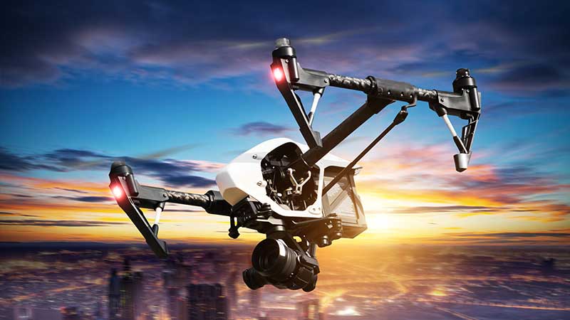
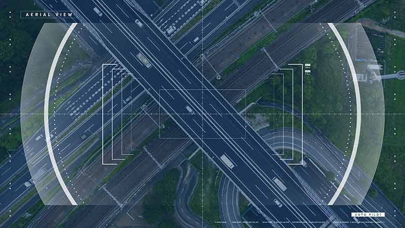
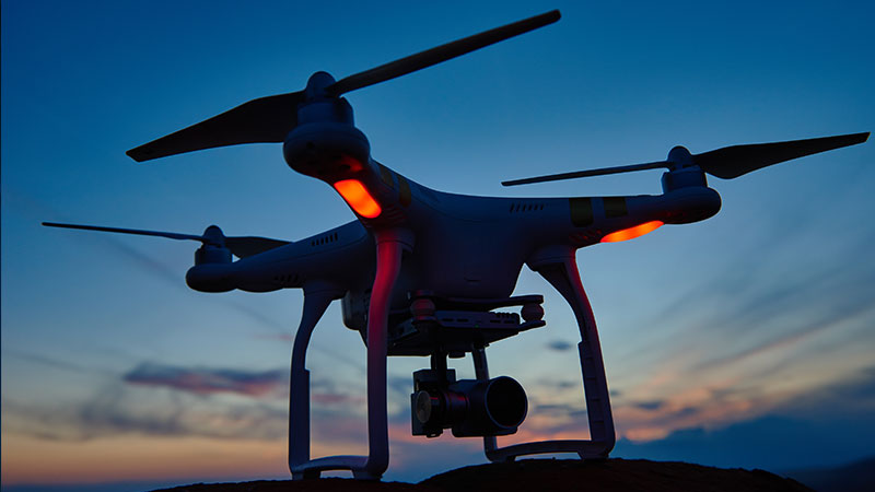
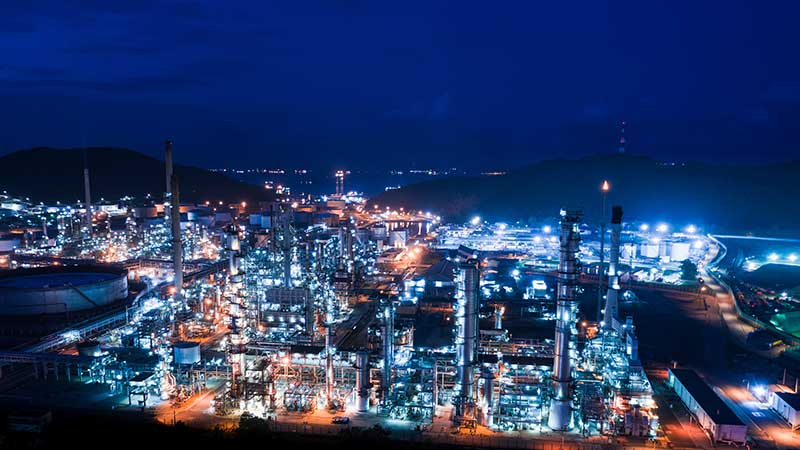
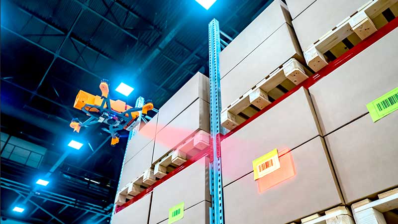
The most widespread use of commercial drones is in asset inspection. Asset heavy industries can incur huge cost savings and operational efficiencies by employing drones for assessing the health of their assets.

Drones are able to reach remote assets efficiently, without risk to employees, leading to better maintenance and improved ROI. Industries include wind and soar farms, telecommunications, energy and utilities, mining, chemicals and petroleum, civil infrastructure and construction.

Flora and fauna

Drones specialized with thermal and spectroscopic sensors can gather data that help with flora and fauna management. Based on this data, detailed models of the areas can be generated for business and environmental purposes.

Livestock monitoring and wildlife survey missions also fall in this category. In tandem with specialized software, drones can provide high-end services that help farmers, ranchers, asset heavy industries and environmental organizations.

Maintaining your competitive edge

Ok. You now possess the knowledge and know-how to conduct advanced commercial drone missions. This is a crucial part of your portfolio – but it’s not the end of the story.

In the next step, you’ll learn about the best business practices that are key to success. AD offers a full spectrum of such services to get you going.